
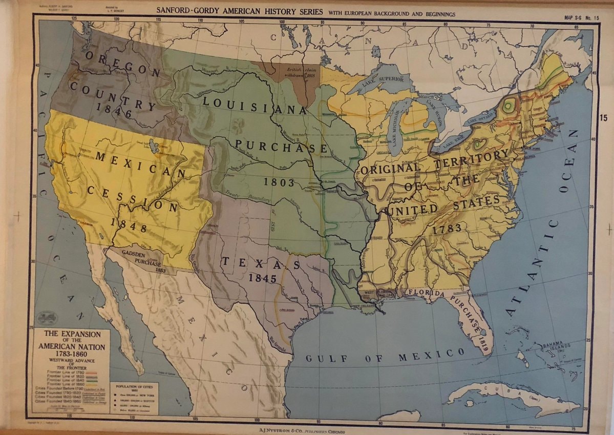
@scarlett_sA long read on how the United States expanded between 1783, 1860
Ver publicação original@scarlett_sA long read on how the United States expanded between 1783, 1860
Ver publicação originalFoto de @scarlett_s· Sep 24, 2026· United States
The image is a historical map of the United States. It depicts territorial expansion with different colored regions labeled with purchases and annexations like the Louisiana Purchase, Mexican Cession, and Texas 1845. The map has a vintage educational style. Notable details include the various dates associated with each territorial acquisition and the detailed labeling of geographical features and boundaries. ON-SCREEN TEXT: SANFORD-GORDY AMERICAN HISTORY SERIES WITH EUROPEAN BACKGROUND AND BEGINNINGS MAP S-G No. 15 THE EXPANSION OF THE AMERICAN NATION 1783-1860 WESTWARD ADVANCE THE FRONTIER Frontier Line of 1790 Frontier Line of 1820 Frontier Line of 1850 Frontier Line of 1860 Cities Founded Before 1790 Cities Founded 1790-1840 Cities Founded 1840-1860 POPULATION OF CITIES 1860 OVER 100,000 NEW YORK 50,0
 2Texas fraud conviction over $26 million veterans funds
 2Texas BBQ brisket and ribs removal
 Texas supercell rainbow clouds
 3Austin ICE protest scene
 2Texas shuts birth tourism business
 Blue Hole Texas
 2Texas curriculum Israel history 1948
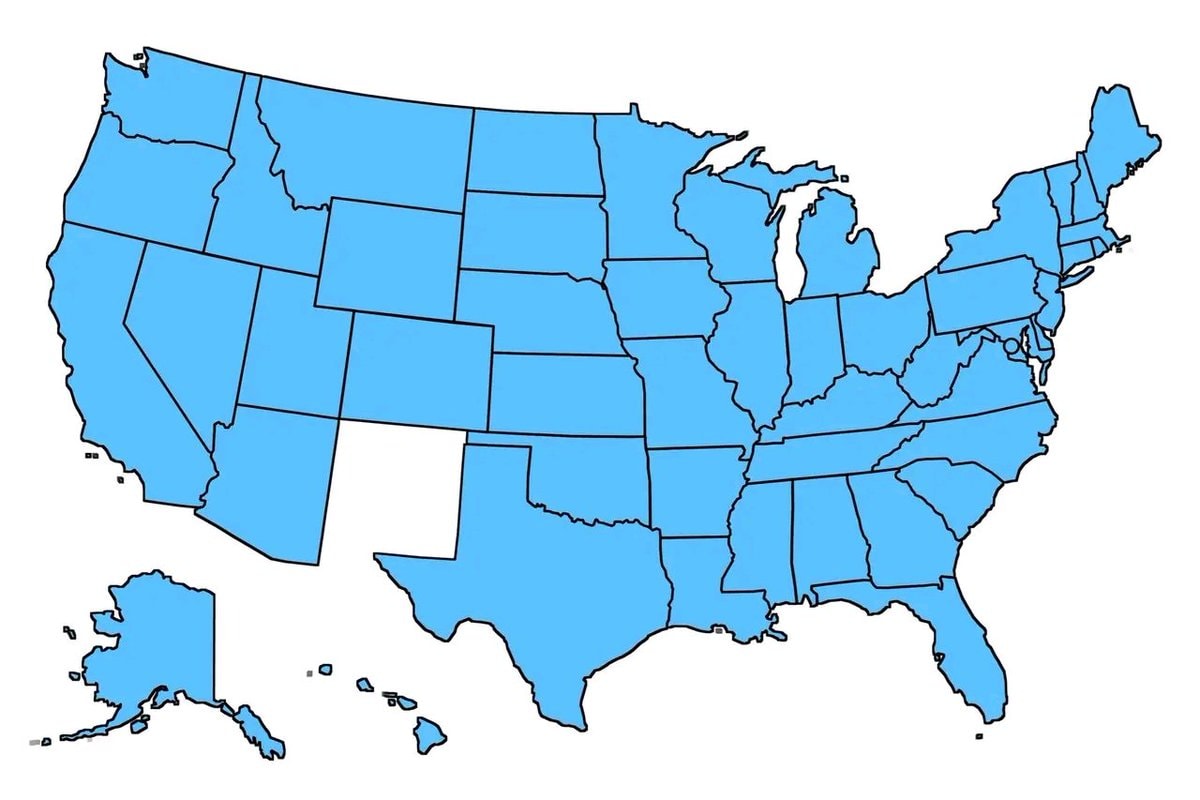 United States old states map
 Texas school gym Jumu'ah prayers 2026
 Chris Brown holds The State of Texas RESOLUTION
 Texas fans with chest paint
 Texas Dodge Hellcat seized
 Tesla Electric Powerwall Texas offer
 Electric air taxis tested in North Texas
 2Robyn Yerian Texas tiny home community
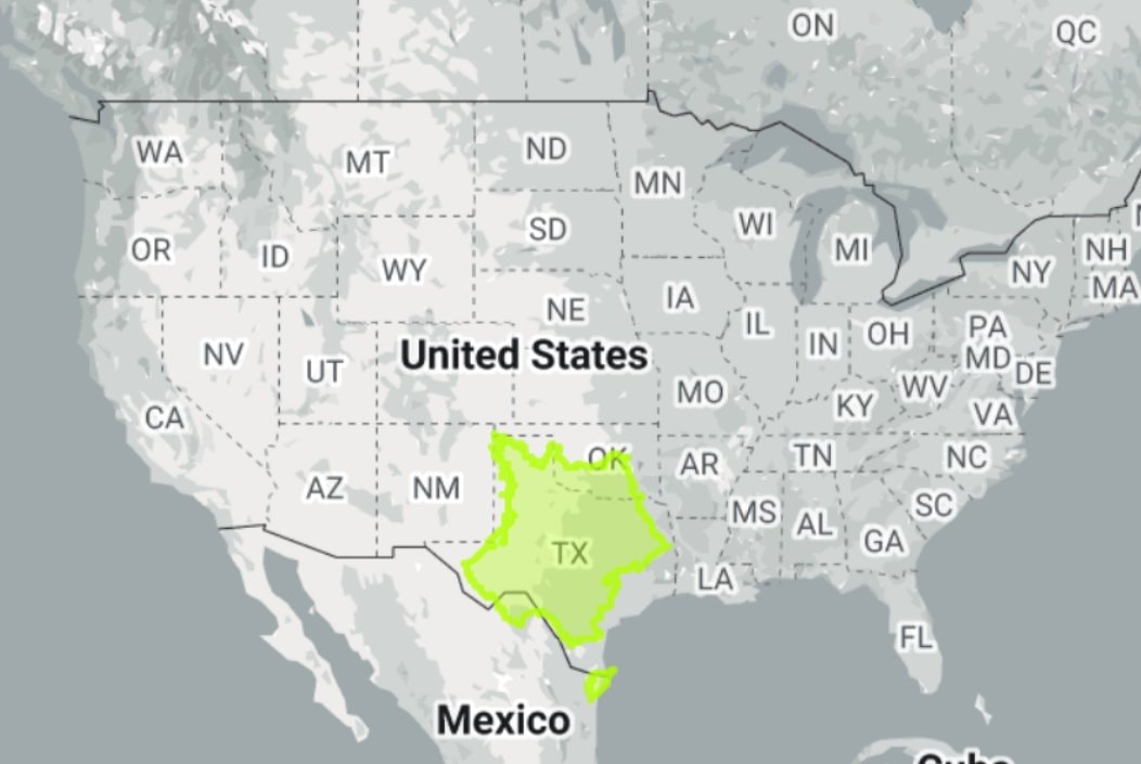 France vs Texas map
 Texas teacher arrested
 Rare Cloud Formation Over Texas
@scarlett_sA long read on how the United States expanded between 1783, 1860
Ver publicação originalFoto de @scarlett_s· Sep 24, 2026· United States
The image is a historical map of the United States. It depicts territorial expansion with different colored regions labeled with purchases and annexations like the Louisiana Purchase, Mexican Cession, and Texas 1845. The map has a vintage educational style. Notable details include the various dates associated with each territorial acquisition and the detailed labeling of geographical features and boundaries. ON-SCREEN TEXT: SANFORD-GORDY AMERICAN HISTORY SERIES WITH EUROPEAN BACKGROUND AND BEGINNINGS MAP S-G No. 15 THE EXPANSION OF THE AMERICAN NATION 1783-1860 WESTWARD ADVANCE THE FRONTIER Frontier Line of 1790 Frontier Line of 1820 Frontier Line of 1850 Frontier Line of 1860 Cities Founded Before 1790 Cities Founded 1790-1840 Cities Founded 1840-1860 POPULATION OF CITIES 1860 OVER 100,000 NEW YORK 50,0
Ainda não há comentários. Seja o primeiro!
2Texas fraud conviction over $26 million veterans funds2Texas BBQ brisket and ribs removalTexas supercell rainbow clouds3Austin ICE protest scene2Texas shuts birth tourism businessBlue Hole Texas2Texas curriculum Israel history 1948United States old states mapTexas school gym Jumu'ah prayers 2026Chris Brown holds The State of Texas RESOLUTIONTexas fans with chest paintTexas Dodge Hellcat seizedTesla Electric Powerwall Texas offerElectric air taxis tested in North Texas2Robyn Yerian Texas tiny home communityFrance vs Texas mapTexas teacher arrestedRare Cloud Formation Over Texas
Ainda não há comentários. Seja o primeiro!