
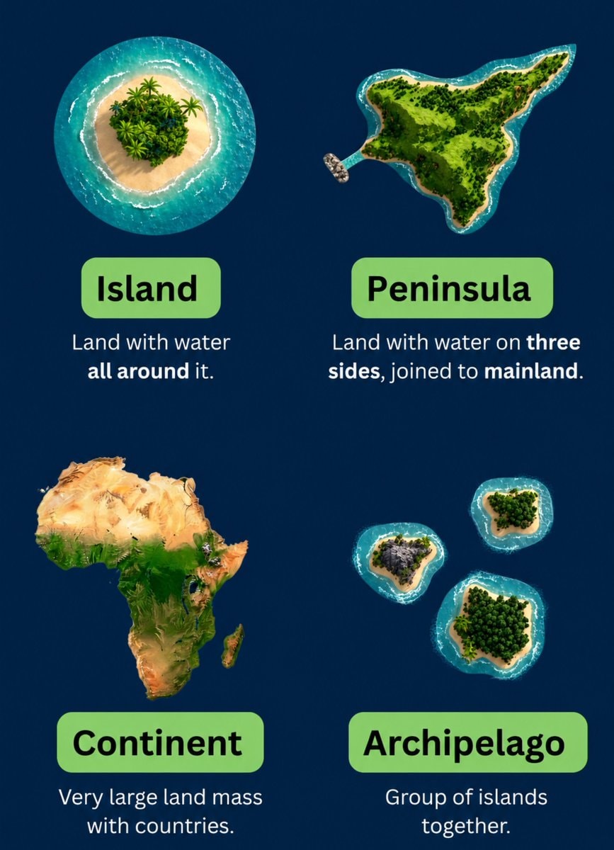
@scarlett_sThis infographic breaks down the four main landforms in a way that actually sticks. island, peninsula, continent, archipelago, simple definitions, clear visuals. good reference
Ver publicação original@scarlett_sThis infographic breaks down the four main landforms in a way that actually sticks. island, peninsula, continent, archipelago, simple definitions, clear visuals. good reference
Ver publicação originalFoto de @scarlett_s· Jul 28, 2026· Education
The image is an infographic with four distinct sections, each illustrating a geographical landform. The top left shows an island, the top right a peninsula, the bottom left the continent of Africa, and the bottom right an archipelago. The style is clean and educational, with vibrant, almost cartoonish renderings of the landmasses against a dark blue background. Each section has a green label and a brief definition below it. The definitions are: "Island: Land with water all around it.", "Peninsula: Land with water on three sides, joined to mainland.", "Continent: Very large land mass with countries.", and "Archipelago: Group of islands together."
 2Joe Petraro-Hyppolite NYU admission
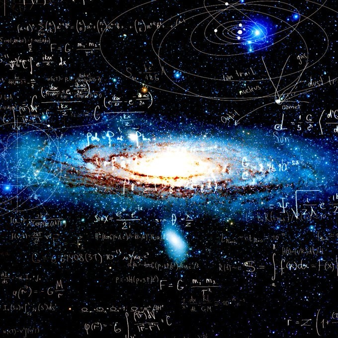 mathematics language vs tool
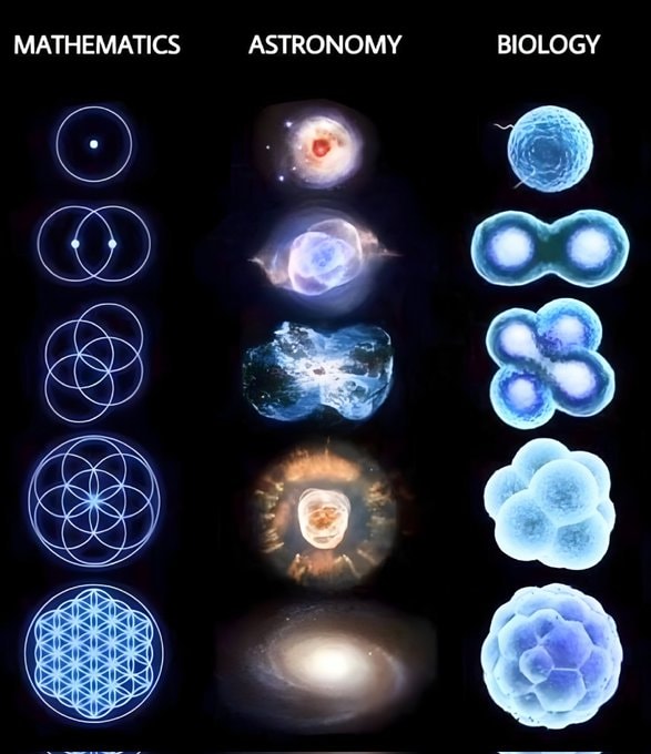 mathematics astronomy biology grid
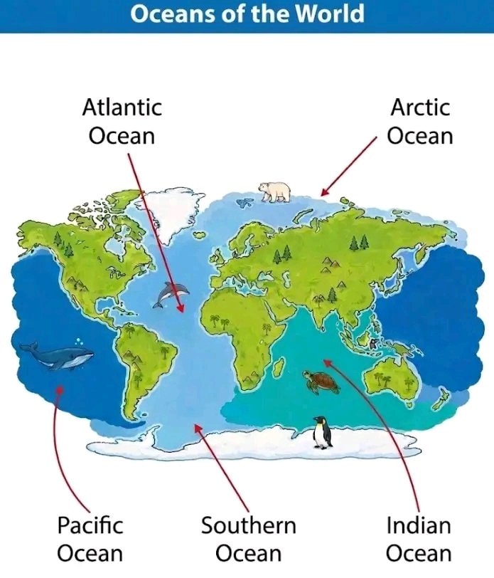 Oceans of the World
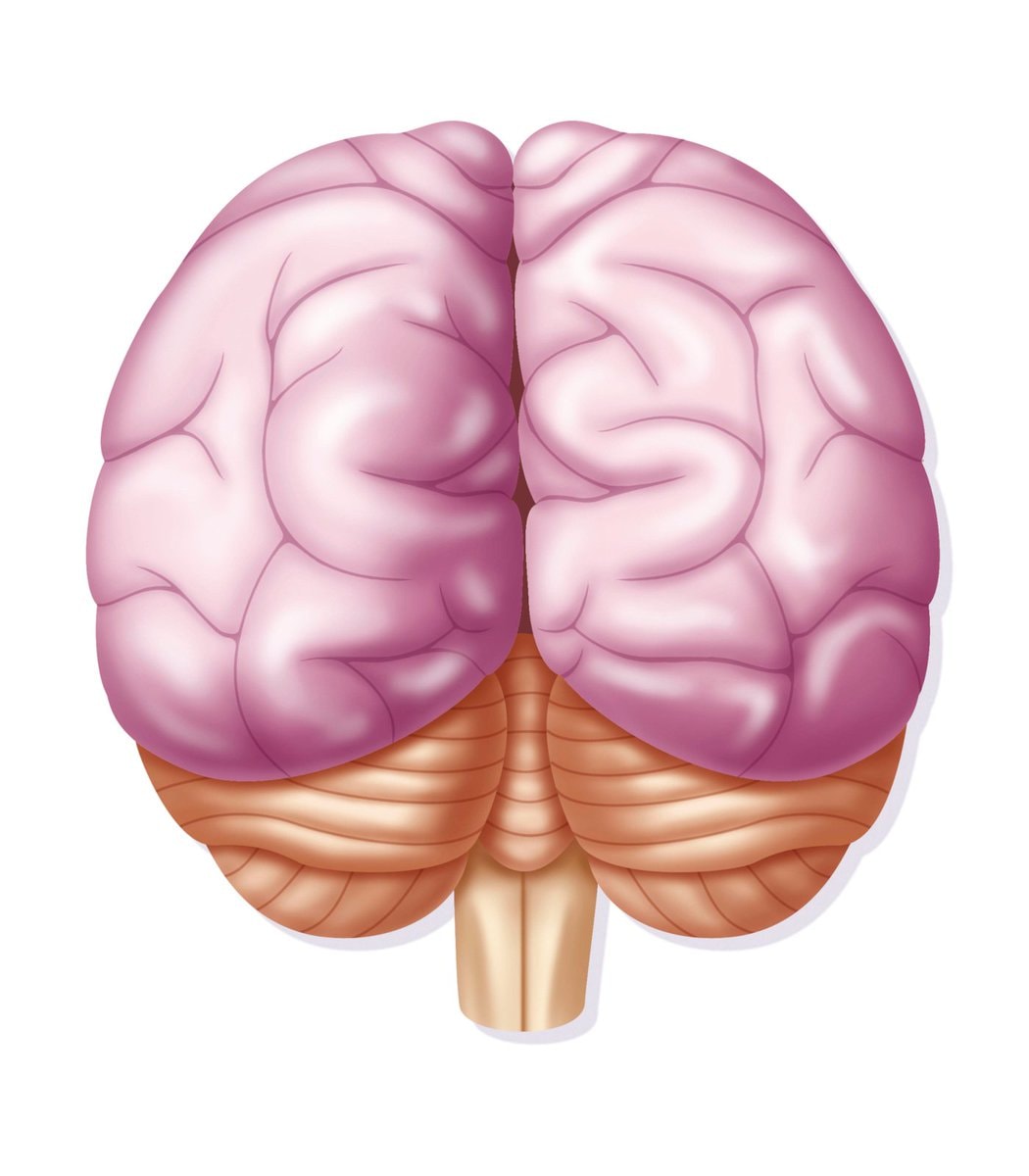 2Human brain anatomy illustration
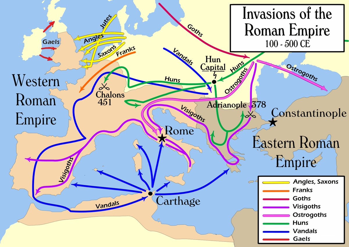 Invasions of the Roman Empire 100–500 CE
 Terence Tao on his weaknesses
 Richard P. Feynman quote
 2College student graduation cap serious expression
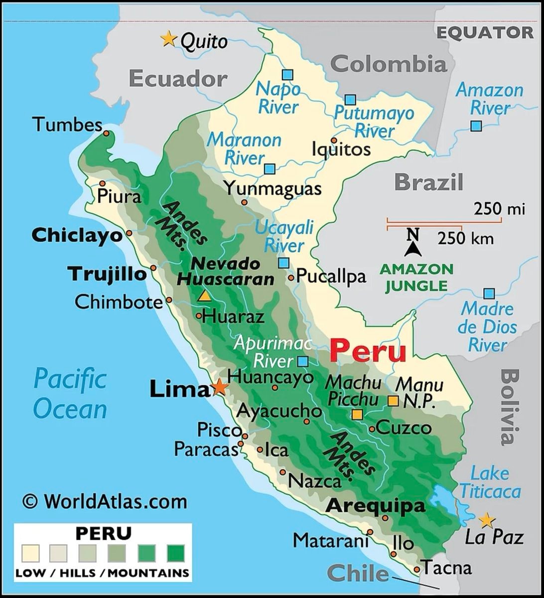 Peru map and country facts
 School lunch program for all kids
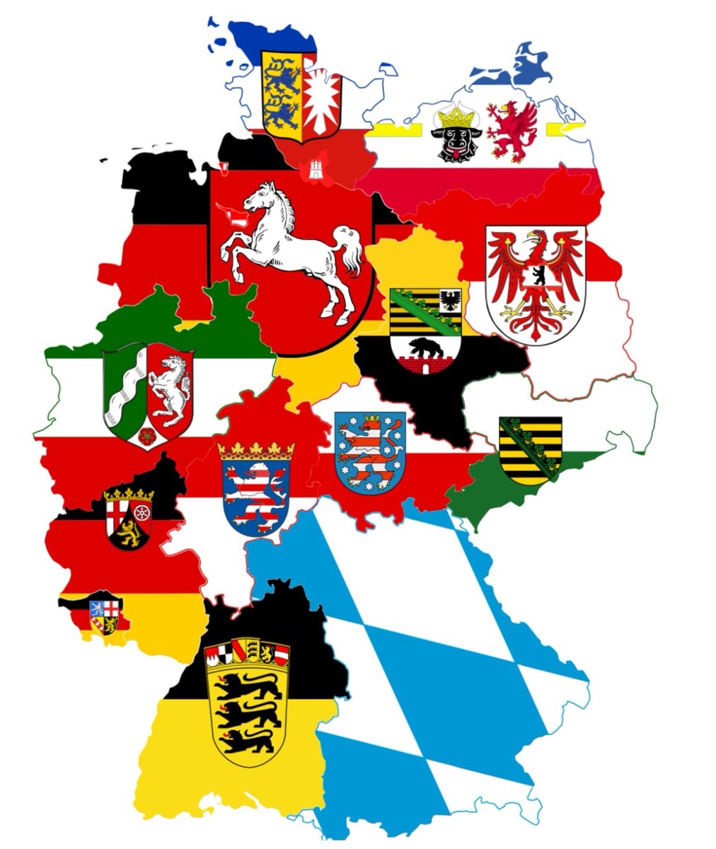 germany sixteen states
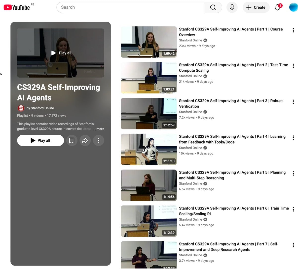 Stanford CS329A Self-Improving AI Agents
 slavery to family meme
 2Study on literacy scores by state
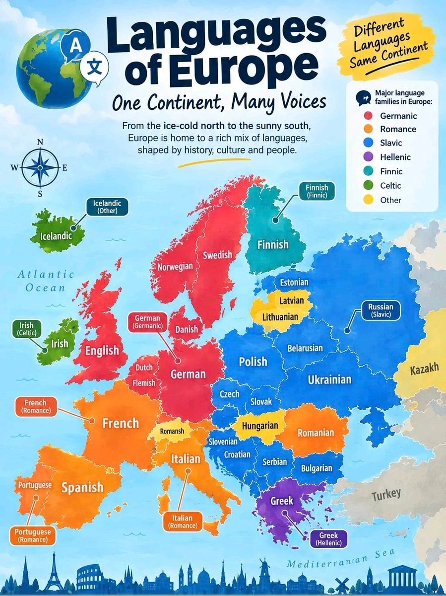 Languages of Europe infographic
 Gen Z trade salary view
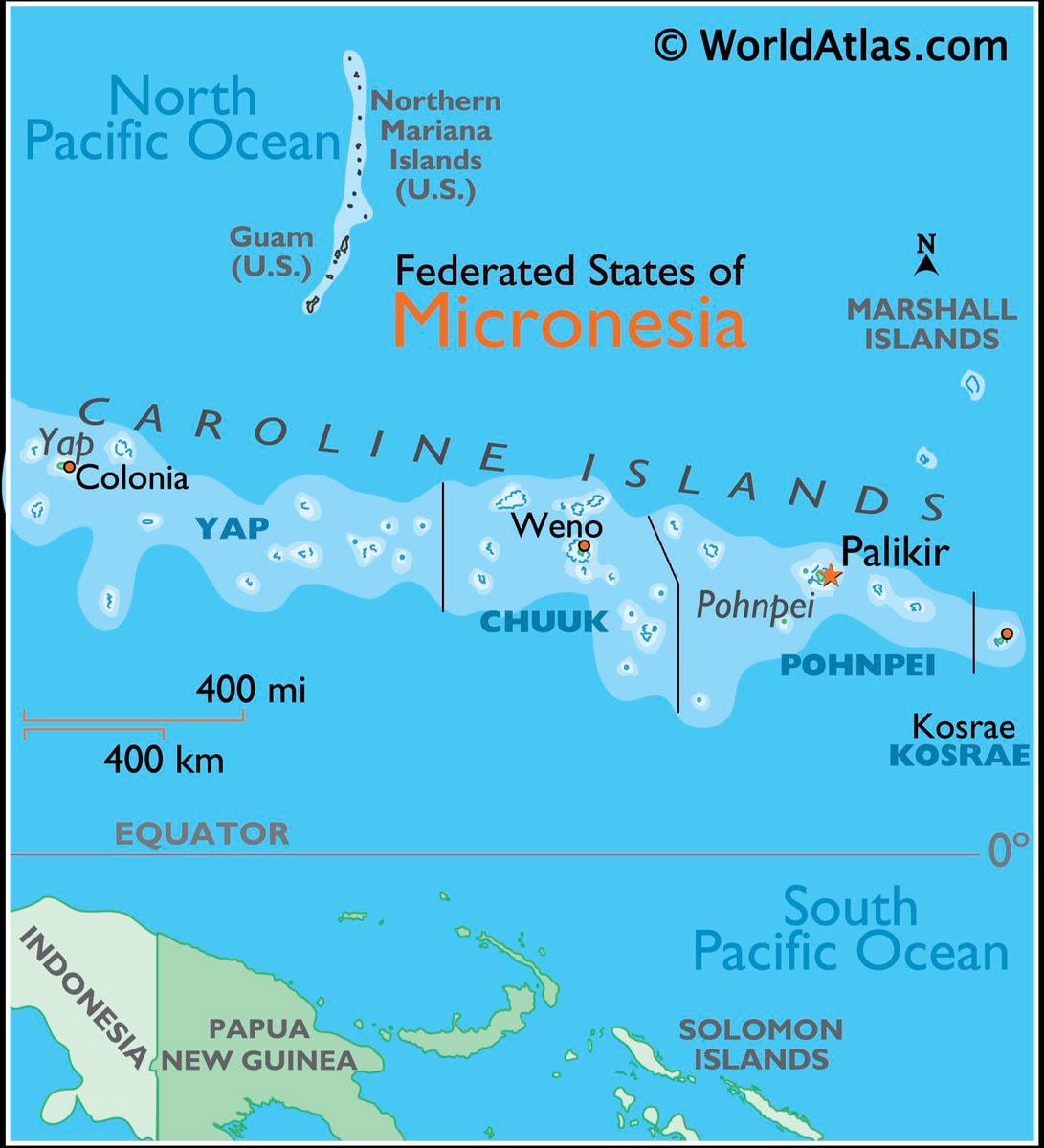 Micronesia map and facts
@scarlett_sThis infographic breaks down the four main landforms in a way that actually sticks. island, peninsula, continent, archipelago, simple definitions, clear visuals. good reference
Ver publicação originalFoto de @scarlett_s· Jul 28, 2026· Education
The image is an infographic with four distinct sections, each illustrating a geographical landform. The top left shows an island, the top right a peninsula, the bottom left the continent of Africa, and the bottom right an archipelago. The style is clean and educational, with vibrant, almost cartoonish renderings of the landmasses against a dark blue background. Each section has a green label and a brief definition below it. The definitions are: "Island: Land with water all around it.", "Peninsula: Land with water on three sides, joined to mainland.", "Continent: Very large land mass with countries.", and "Archipelago: Group of islands together."
Ainda não há comentários. Seja o primeiro!
2Joe Petraro-Hyppolite NYU admissionmathematics language vs toolmathematics astronomy biology gridOceans of the World2Human brain anatomy illustrationInvasions of the Roman Empire 100–500 CETerence Tao on his weaknessesRichard P. Feynman quote2College student graduation cap serious expressionPeru map and country factsSchool lunch program for all kidsgermany sixteen statesStanford CS329A Self-Improving AI Agentsslavery to family meme2Study on literacy scores by stateLanguages of Europe infographicGen Z trade salary viewMicronesia map and facts
Ainda não há comentários. Seja o primeiro!